


Produits similaires
Produits similaires


375,34 $ min.
La carte du code postal Northern Scotland (Uist, Orkney and Shetland) en vente B2B
Prix revendeur
PVC : 44,10 $
Livraison et politiques
- Date de livraison estimée : 19‑29 janv.
Retours gratuits et faciles. En savoir plus
Achetez des produits B2B uniques pour votre magasin sur Faire auprès de marques telles que Map Marketing Limited et bien plus encore.
Description
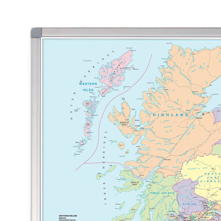
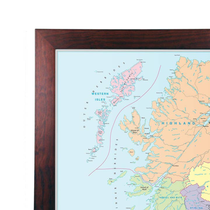
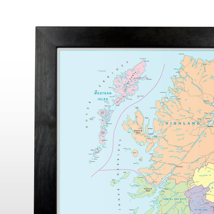
Cette carte de quartier du code postal affiche la première moitié du code postal (ou code extérieur) de Northern Scotland inclut Uist, Orkney et Shetland. Cette carte couvre les domaines suivants : Nord : John O'Groats Sud : St Andrews Est : Peterhead Ouest : Barra Cette carte de district présente la première moitié complète du code postal (ou code extérieur) et est la sixième des six feuilles prédéfinies qui couvrent la Grande-Bretagne à une échelle d'un pouce à 8 miles. Les cartes de district incluent tous les changements de code postal depuis la dernière mise à jour du code postal Royal Mail. Les limites de la zone et du district apparaissent en évidence en rouge, les limites du comté et de l'autorité unitaire étant affichées en violet.
Ce texte a été traduit automatiquement.
Détails
Pays de fabrication : Royaume-Uni Poids : 0 g (0 oz) UGS : D6P EAN : 9781842520130


