


Similar products
Similar products


$273.48 min
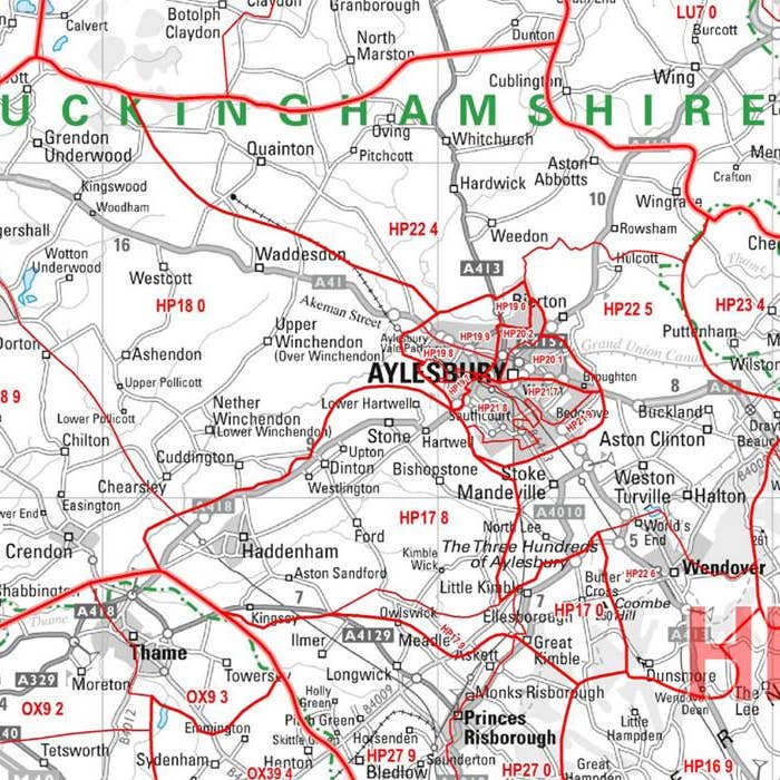
Wholesale Berkshire, Buckinghamshire and Oxfordshire Postcode Wall Map
WSP
$32.44 MSRP
Shipping & policies
- Estimated delivery Jan 14-26
Free and easy returns. Learn more
With Faire, shop unique wholesale products for your store from brands like Map Marketing Limited and more.
Description
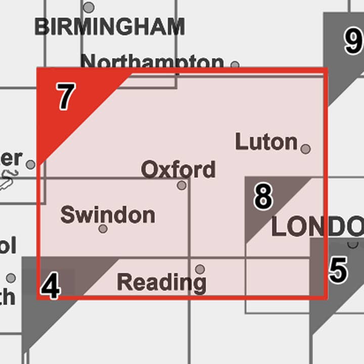
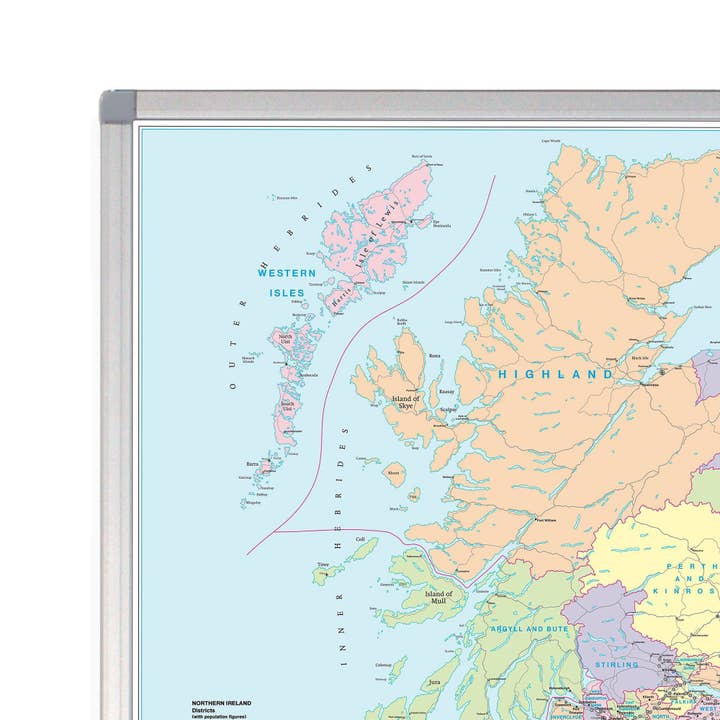
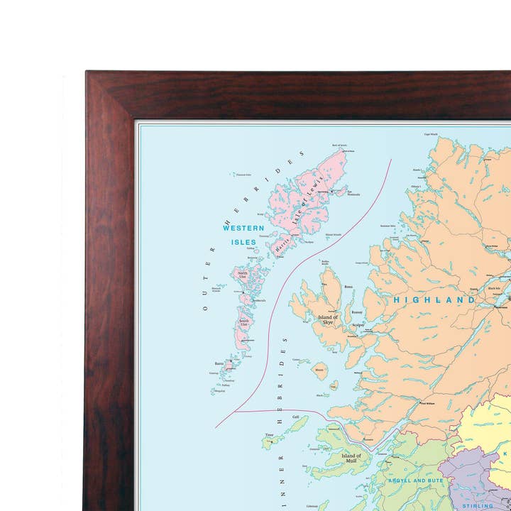
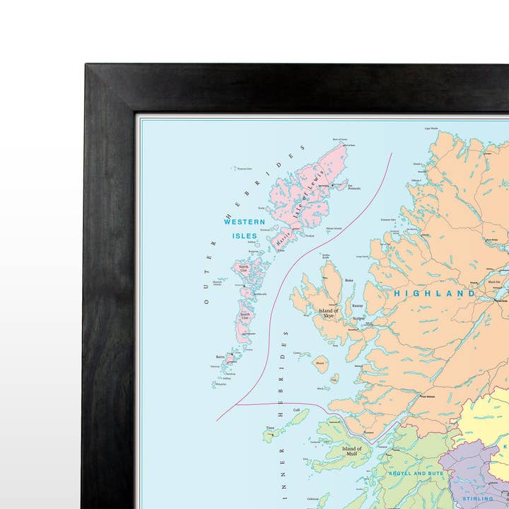
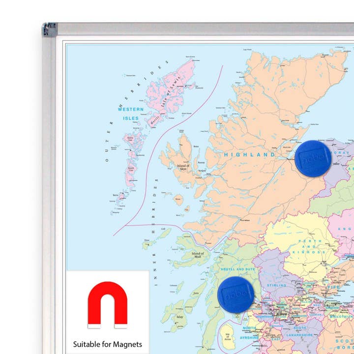
Sector Sheet 7: Berkshire, Buckinghamshire & Oxfordshire Set on Berkshire, Buckinghamshire and Oxfordshire, this postcode sector map is seventh of 37 pre-defined map sheets that covers the UK displaying all of the first part of the postcode and the first number of the second part, or Inward Code, at a scale of an inch to 2.4 miles. Within this wide area you get to see postcode sector level information for Reading, Oxford and more the area covered includes: North: Stratford-upon-Avon South: Basingstoke East: Corsham West: Harrow This Sector map includes all of the postcode changes in the most recent Royal Mail Postcode Update. Area, District and Sector boundaries and numbers/letters are shown in red with County and Unitary Authority boundaries presented in green.
Details
SKU: S7P Made in United Kingdom Weight: 0 g (0 oz)


