


Similar products
Similar products


3.7 ()
$200 min
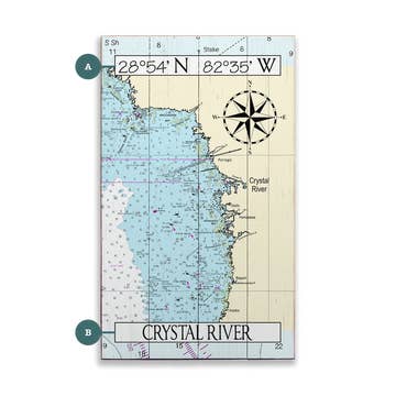
Wholesale Penobscot Bay Camden and Rockport Navigation Chart 103
WSP
$32.95 MSRP
Shipping & policies
- Estimated delivery Apr 22-29
Free and easy returns. Learn more
With Faire, shop unique wholesale products for your store from brands like Waterproof Charts and more.
Description
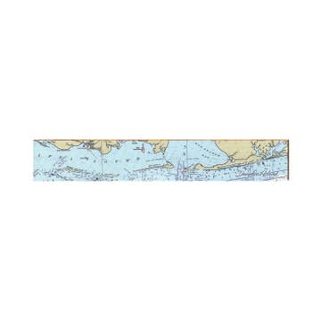
Hey Maine boaters! We’ve got the coastal nautical chart you need in your boating bag. Both coastal and detailed coverage are included for this popular cruising area. On one side is overall coverage from Monhegan to Manticus Islands and north to Castine. The reverse side of this essential navigation map covers Vinalhaven and Rockland Rockport and Camden Maine in detail with a special inset just for Carvers Harbor.
Details
SKU: 103 Made in United States Style: Coastal Product Language: English Weight: 45.36 g (1.6 oz)


Ratings and reviews
Relevance
3.7
Brand rating ()
5
5
1
1
4
4
1
1
3
3
0
0
2
2
1
1
1
1
0
0
No reviews for Penobscot Bay Camden and Rockport Navigation Chart 103 yet.
Reviews for similar products from Waterproof Charts: Map

We ordered 6 of two differnt kinds of maps. received 12 of one style, 0 of the other.
We ordered 6 of two differnt kinds of maps. received 12 of one style, 0 of the other.
Feb 14, 2025 • Cindy • Port St. Joe, FL, United States