


Similar products
Similar products


Shipping & policies
- Estimated delivery Feb 5-17
Free and easy returns. Learn more
With Faire, shop unique wholesale products for your store from brands like Map Marketing Limited and more.
Description
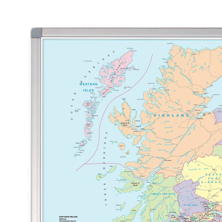
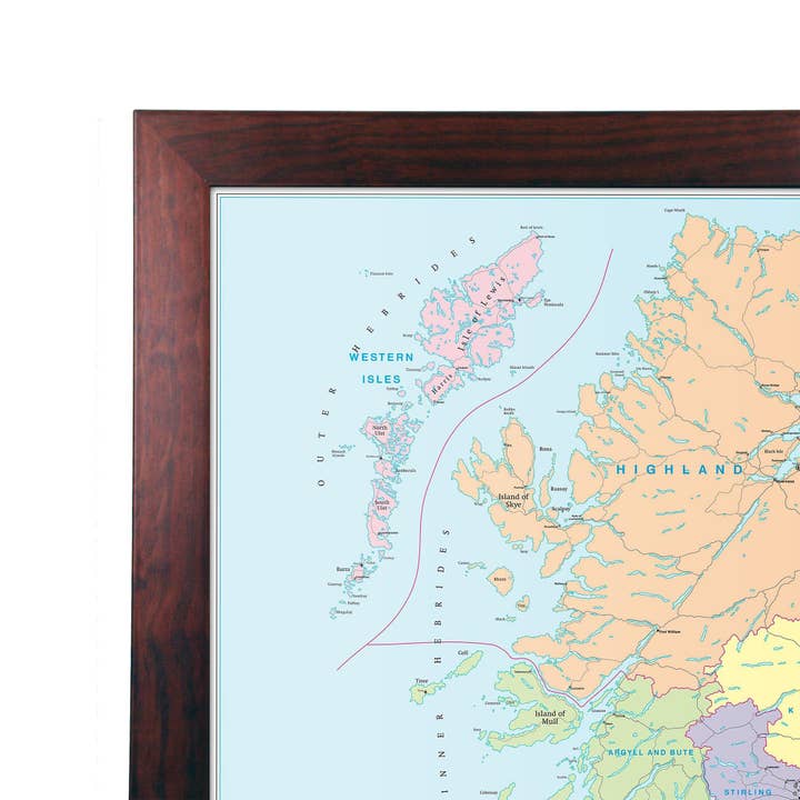
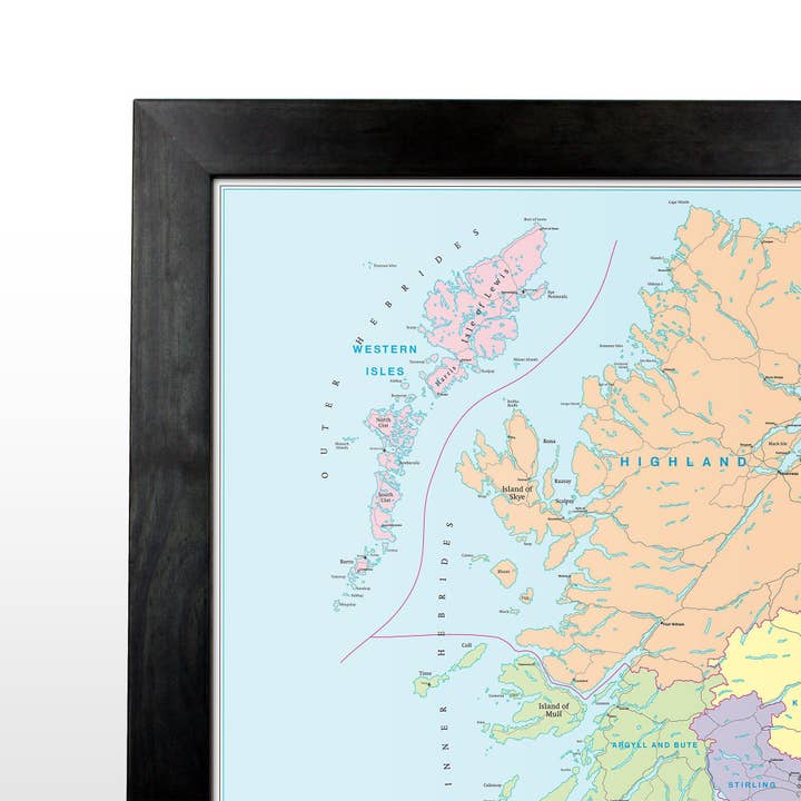
A comprehensive route map of Greater London covering an area just over the M25. This wall map shows motorways and other major roads in the Greater London area. Roads are numbered and named allowing users to plan through routes and business travel. There is a comprehensive street index on the reverse. Size: 93 x 118 cm (37 x 46 inches). Scale: 1:63 360 (1 mile to 1 inch). This map is permanently bonded between two sheets of tough, flexible, crystal-clear plastic. This finish allows you to “write on, wipe off” with dry or wet wipe pens. The map is also available laminated and framed in either superb satin-finish aluminium (metal backing optional) or light, black or dark wood supplied ready to display. Want a London Postcode Map that includes the M25? Take a look at Sector Sheet 8.
Details
SKU: LON-MAIN-RDS Made in United Kingdom Weight: 0 g (0 oz)


