


Similar products
Similar products


Shipping & policies
- Estimated delivery May 28-Jun 9
Free and easy returns. Learn more
With Faire, shop unique wholesale products for your store from brands like Map Marketing Limited and more.
Description
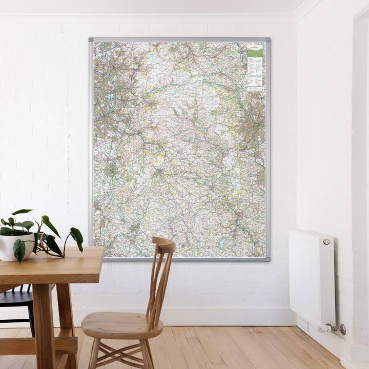
A large wall map of Derbyshire’s Peak District National Park printed using the UK’s most iconic mapping for outdoor activities; the Ordnance Survey’s Landranger base. Mapping printed at the full 1:50000 scale, 2cm = 1km. The wall map shows the whole of the National Park area with additional space around the park boundary for context. Available in a durable encapsulated finish, supplied rolled. This lamination is ideal for use with non-permanent pens to write on – wipe off, perfect for route planning. The framed version is also laminated and has a pin board backing for the use of pins, which makes for a fantastic display board for recording hikes and adventures.
Details
SKU: BESPPEAK Made in United Kingdom Weight: 0 g (0 oz)


