


Similar products
Similar products


$274 min
Wholesale Yorkshire North & East Riding Historical Map (1610)
WSP
$77.99 MSRP
Shipping & policies
- Estimated delivery Jul 13-23
Free and easy returns. Learn more
With Faire, shop unique wholesale products for your store from brands like Map Marketing Limited and more.
Description
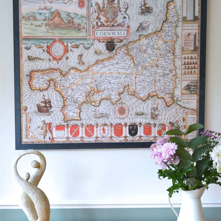
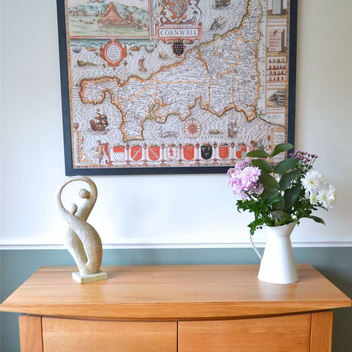
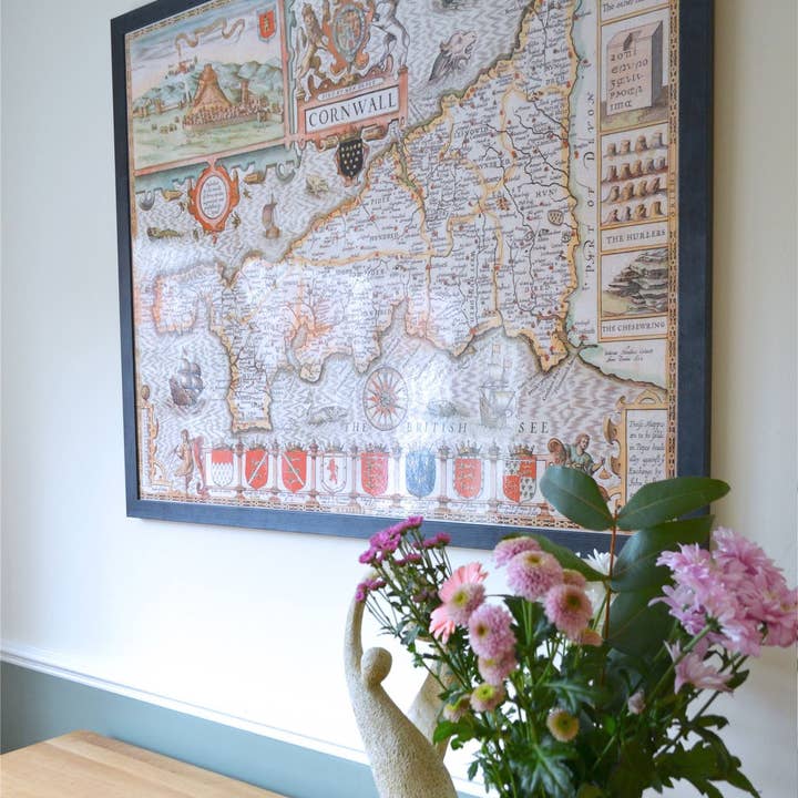
This is a superb wall map featuring the county of Yorkshire North & East Riding in approximately 1610. Originally sourced by renowned English cartographer John Speed(1552-1629) who published an atlas called 'The Theatre of the Empire of Great Britaine'. His maps themselves were of high quality and gained a great reputation for being among the best county maps. This wonderful, fascinating map comes complete with hand-crafted wooden frame ready to brighten up any wall. Map size is 75 x 90 cm.
Details
SKU: HCM-YORNER-BM Made in United Kingdom Weight: 1.5 kg (3.31 lb) EAN: 5056318170527


