


Similar products
Similar products


$100 min
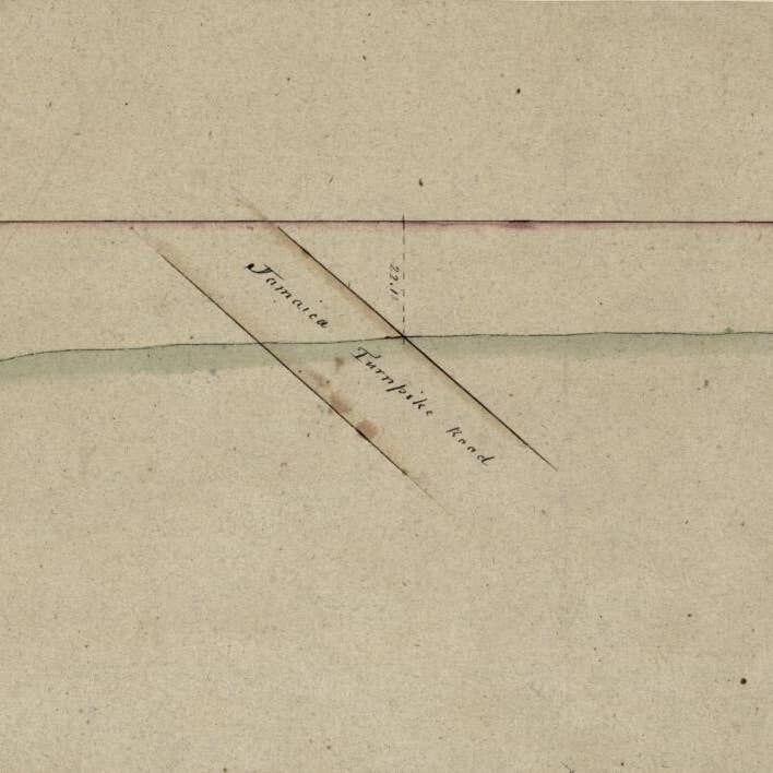
Wholesale A Profile of the Ground Between Fort Green On the Jacksons Hill Southeast of the Wall About to Cobble Hill Fort Near Gowannes Creek Aug. 10th in 1814
WSP
$62.95 MSRP
Shipping & policies
- Estimated delivery Jun 16-26
Free and easy returns. Learn more
With Faire, shop unique wholesale products for your store from brands like Relic Map Co. and more.
Description
Old manuscript map of Cobble Hill, Cobble Hill (New York), Fort Greene, Fort Greene (New York), New York, New York (State), United States. Created by Stephen Ludlam, United States. War Department. Office of the Chief of Engineers in 1814. * Relief shown pictorially. * Pen-and-ink, pencil, and watercolor. * "Office of Chief of Engineers, War Department. 58510 539" on verso. * Minimal level cataloging record.
Details
SKU: 21558_2012588012_9.8x58.7 Made in United States Weight: 99.79 g (3.52 oz)


