


Similar products
Similar products


$150.00 min
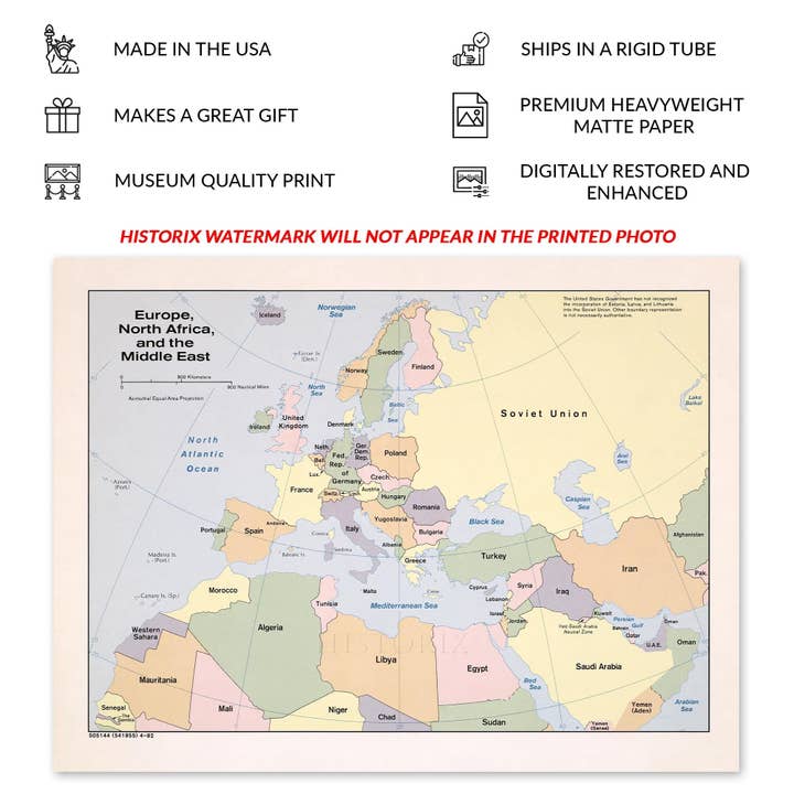
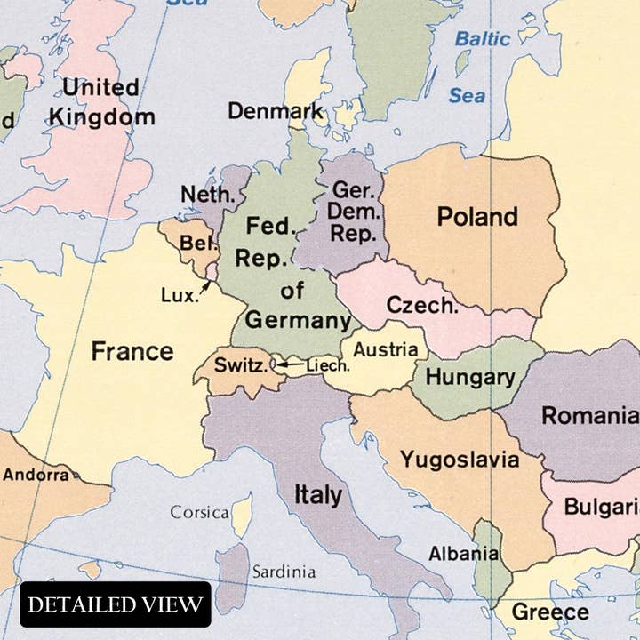
Wholesale 1982 Europe North Africa and Middle East Map Print - Vintage Map of Europe North Africa & The Middle East Wall Art Poster
Wholesale 1982 Europe North Africa and Middle East Map Print - Vintage Map of Europe North Africa & The Middle East Wall Art Poster
Wholesale 1982 Europe North Africa and Middle East Map Print - Vintage Map of Europe North Africa & The Middle East Wall Art Poster
Wholesale 1982 Europe North Africa and Middle East Map Print - Vintage Map of Europe North Africa & The Middle East Wall Art Poster
WSP
$79.99 MSRP
Shipping & policies
- Estimated delivery Dec 11-22
Free and easy returns. Learn more
With Faire, shop unique wholesale products for your store from brands like Historic Prints and more.
Description
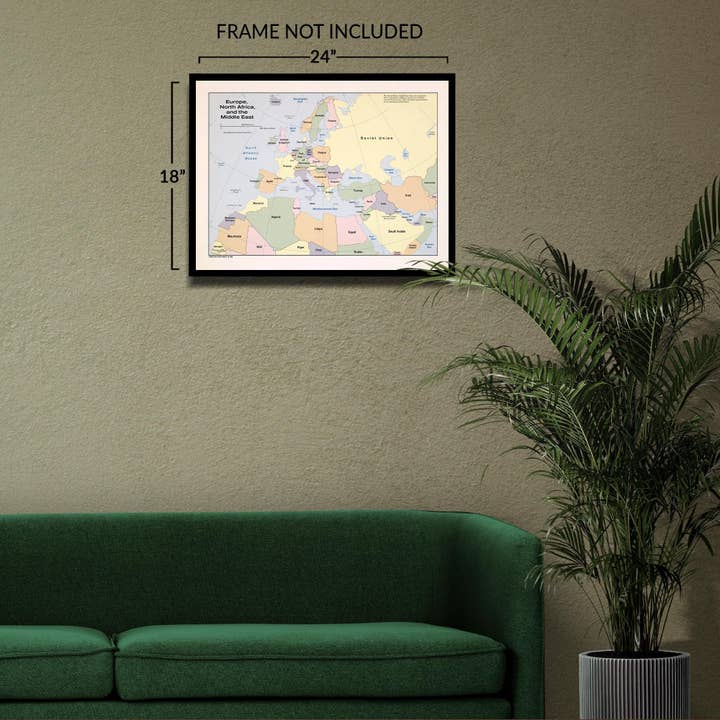
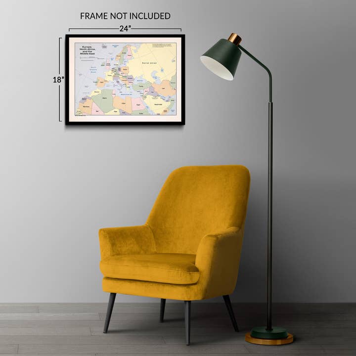
Feature Points * VINTAGE MAP REPRODUCTION: You'll love this high quality historic reproduction of 1982 Europe North Africa & Middle East Map Print. Our museum quality prints are archival grade, which means it will look great and last without fading for over 100 years. Our print to order maps are made in the USA and each map is inspected for quality. This beautiful artwork is a perfect addition to your themed decor. Vintage maps look great in the home, study or office. They make a perfect gift as well. * MUSEUM QUALITY: This high quality map print will be a great addition to your vintage-themed wall. Don't waste money on cheap-looking, thin paper posters. We use thick, fine art print quality matte paper. Our professional's choice matte paper displays artwork in high detail without glare. The color is vibrant and text is easy to read. When framed, this map looks absolutely stunning. * A LOOK BACK AT HISTORY: This is an impressive, historic reproduction of 1982 Europe North Africa & Middle East Map Print . A true piece of history. See our product description section for more fascinating information about this historic map and its significance. * READY TO FRAME: This print includes a 0.2 inch border for a perfect frame fit and look. Our maps are designed to fit easy-to-find standard frame sizes, saving you money from having to pay for a custom frame. Each map is inspected for quality and shipped in a rigid tube. * HISTORIX: We love history and art. Sometimes old maps have tears, folds, separations and other blemishes. We digitally restore and enhance maps while keeping its historical character. All our maps are proudly made in the USA. Customers all over the world love our vintage maps and we know you will too. Additional Information Produced by the United States Central Intelligence Agency (CIA), this map of Europe, North Africa, and the Middle East exemplifies the classic style of CIA cartography, providing clear, concise information used by political and military leaders to shape strategy and policy. These maps were critical tools for navigating shifting geopolitical boundaries and addressing conflicts that arose from such changes. The 20th century brought significant transformations to Africa and Eastern Europe. As colonial rule ended in Africa, newly independent nations emerged, taking control after decades of European dominance. In Eastern Europe, the 1980s marked the decline of communist regimes, including in the USSR and Germany, resulting in major economic and political shifts.
Details
SKU: ENMAP0727_1824 Made in United States Weight: 453.59 g (1 lb)


