


Similar products
Similar products


$273.48 min
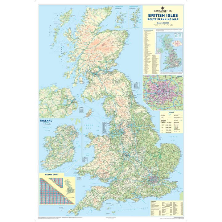
Wholesale British Isles Motoring Map - Road Wall Map of UK and Ireland
WSP
$37.69 MSRP
Shipping & policies
- Estimated delivery Jan 14-26
Free and easy returns. Learn more
With Faire, shop unique wholesale products for your store from brands like Map Marketing Limited and more.
Description
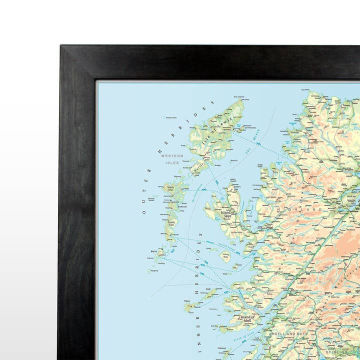
Road Wall Map of the UK and the island of Ireland, showing all motorways and 'A' roads. The ultimate road wall map of the UK. This map is ideal for planning travel either for business or pleasure. On a green map base with full relief colouring (to give you an idea of hilly or mountainous areas) are shown motorways and all roads, with roads shown on the London inset (the area within the M25) only. County and Unitary Authority boundaries are also shown, with the keys to the names of these where space constraints prevent them from being displayed on the map base itself. An inset box in the bottom right-hand corner of the map presents useful travel information; all rail company and selected ferry company telephone booking numbers, as well as contact numbers and flight codes for all major national and international airports within the UK.
Details
SKU: BIM Made in United Kingdom Weight: 0 g (0 oz)


