
Similar products
Similar products


$150 min
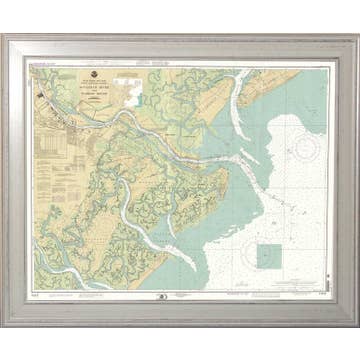
Wholesale Penobscot Bay and Approaches Maine Nautical Chart
WSP
$129.00 MSRP
With Faire, shop unique wholesale products for your store from brands like The Nautical Chart Co. and more.
Description
Glimpse beauty and coastal flair when you discover Penobscot Bay - an inlet of the Gulf of Maine and Atlantic Ocean in south central Maine. Origin of the Penobscot River, Penobscot Bay lies between Muscongus Bay and Blue Hill Bay, just west of Acadia National Park. Explore working waterfronts like Rockland, Rockport, and Stonington, or venture upriver to Belfast! Available in multiple sizes, either printed on photo paper in a traditional frame, or printed on art canvas and stretched around a gallery wrap frame for a modern cottage look. Your Penobscot Bay Maine Nautical Chart Art won't fade or discolor and is proudly made in the USA - ready to hang and make an impression! *
Details
SKU: 0PEBAG116710 Made in United States