


Similar products
Similar products


4.4 ()
$80.00 min
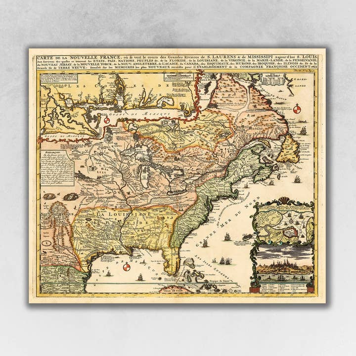
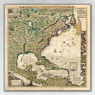
Wholesale 20" x 24" Vintage 1718 Map of New France
Wholesale 20" x 24" Vintage 1718 Map of New France
Wholesale 20" x 24" Vintage 1718 Map of New France
Wholesale 20" x 24" Vintage 1718 Map of New France
WSP
$29.99 MSRP
Shipping & policies
- Estimated delivery Dec 23-Jan 2
Free and easy returns. Learn more
With Faire, shop unique wholesale products for your store from brands like HomeRoots and more.
Description
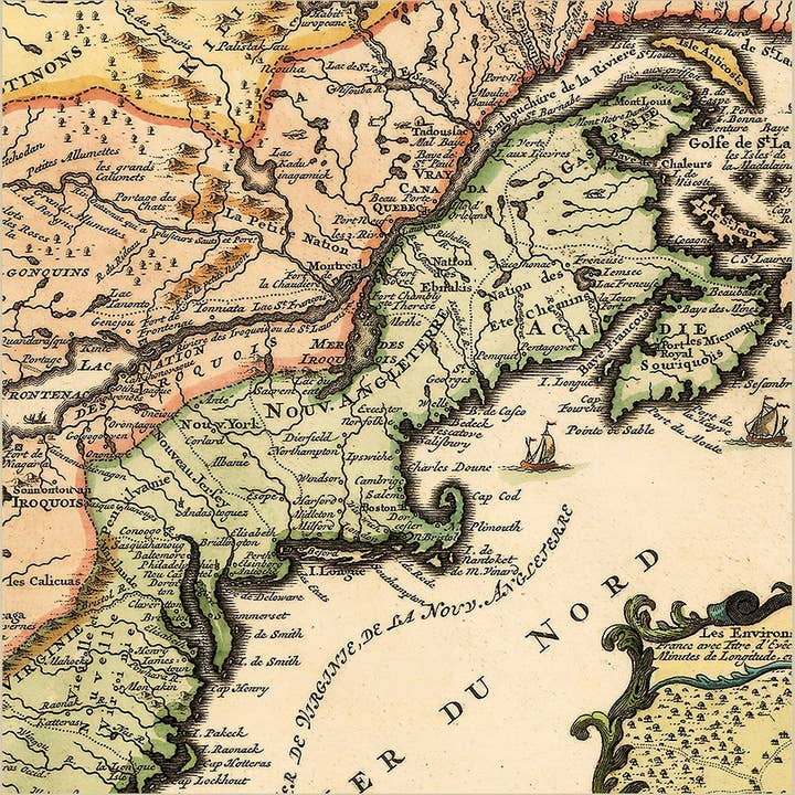
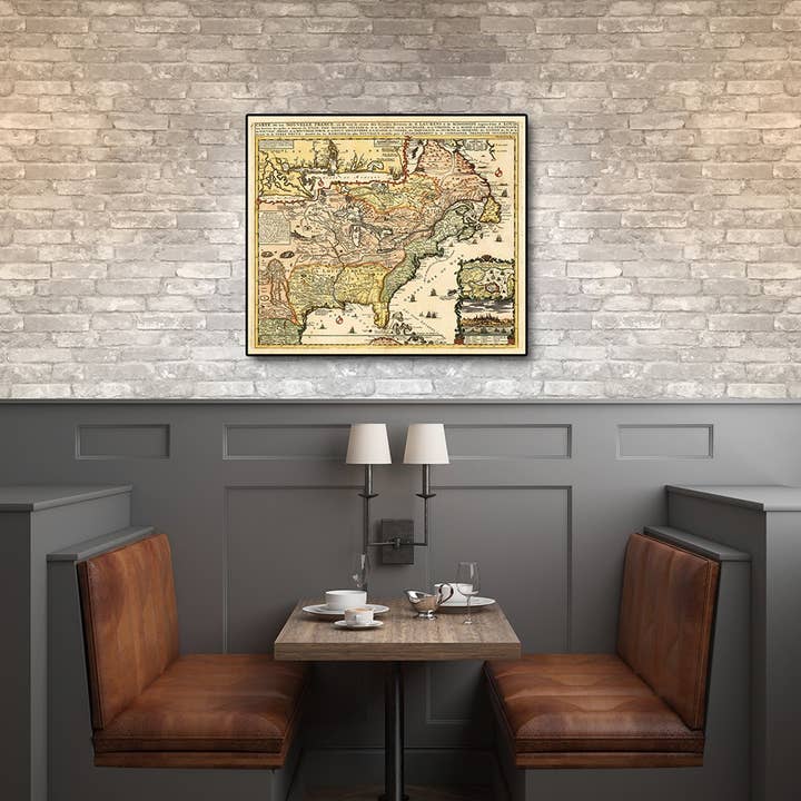
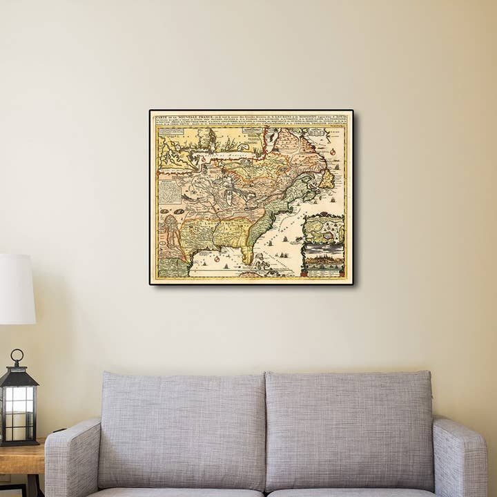
Carte De La Nouvelle France translated, Map of New France, originally published in 1718 is a classic reproduction vintage map by Henri Chatelain. This print shows the inhabited parts of North America as of the early 1700s. This map, based on the 1699 voyage of Pierre Le Moyne d'Iberville. An inset in the top left features the Mississippi Delta and Mobile Bay. The inset in the lower right includes a plan and view of Quebec Canada. Vignettes and notes throughout the map highlights many points of interest. Printed on heavyweight matte art paper, this vintage looking historic map poster is ready to frame, mount, or display as a poster directly on the wall. perfect for any room vintage map print easy to hang or frame. does not include frame.
Details
SKU: 9000391944 Made in United States Weight: 172.37 g (6.08 oz) Dimensions: 0.3 x 50.8 x 61 cm (0.1 x 20 x 24 in)


Ratings and reviews
Relevance
4.4
Brand rating ()
5
5
110
110
4
4
5
5
3
3
6
6
2
2
5
5
1
1
14
14
4.9
Quality of products
5.0
Fulfillment
4.8
Communication
No reviews for 20" x 24" Vintage 1718 Map of New France yet.
Reviews for similar products from HomeRoots: Map

The wall map that we ordered was of exceptional quality. We received positive customer feedback and exceeded our expectations on selling this item. We will continue to order from Homeroots and will expand our assortment using them now that we have had such a positive experience with their product and customer service they provide. Thank you!
The wall map that we ordered was of exceptional quality. We received positive customer feedback and exceeded our expectations on selling this item. We will continue to order from Homeroots and will expand our assortment using them now that we have had such a positive experience with their product and customer service they provide. Thank you!
22 ago 2024 • Christine • Sheffield Lake, OH, United States
Combined shipping should be done for customers… this affects lprofit margin for shop owners.
Combined shipping should be done for customers… this affects lprofit margin for shop owners.
10 gen 2023 • Christie • Carriere, MS, United States