


Similar products
Similar products


£100.00 min
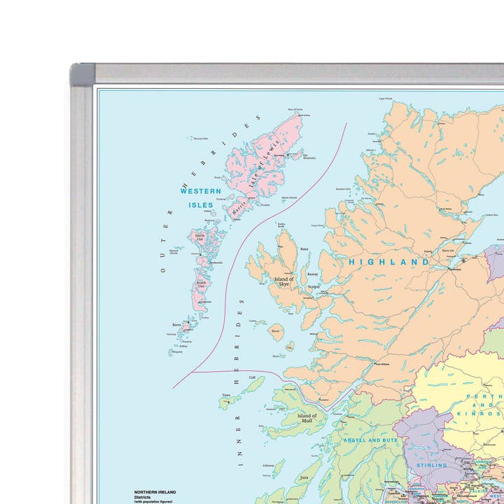
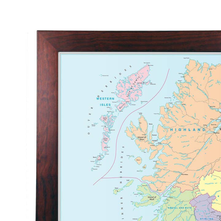
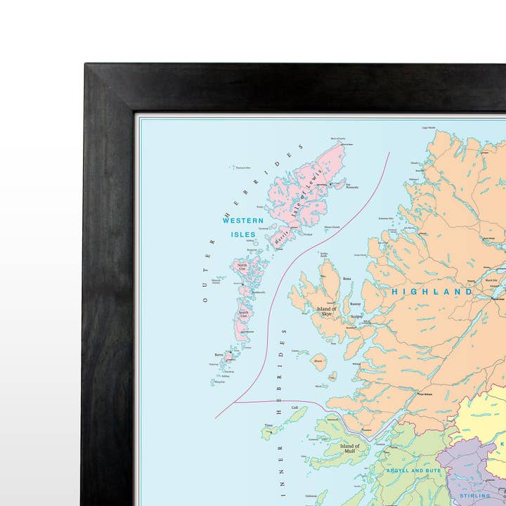
Wholesale Northern Scotland (Uist, Orkney and Shetland) Postcode Map
WSP
£23.85 RRP
Shipping & policies
- Estimated delivery on Jan 19–29
Free and easy returns. Learn more
With Faire, shop unique wholesale products for your shop from brands like Map Marketing Limited and more.
Description
This postcode district map displays the complete first half of the Postcode (or Outward Code) for Northern Scotland includes Uist, Orkney and Shetland. This map covers the following area: North: John O’Groats South: St Andrews East: Peterhead West: Barra This District map presents the complete first half of the Postcode (or Outward Code) and is the sixth of six pre-defined sheets that covers Britain at a scale of an inch to 5 miles. The District maps include all of the Postcode changes from the most recent Royal Mail Postcode Update. The Area and District boundaries appear prominently in red with County and Unitary Authority boundaries displayed in purple.
Details
SKU: D6P Made in United Kingdom Weight: 0 g (0 oz) EAN: 9781842520130


