


Similar products
Similar products


£100 min
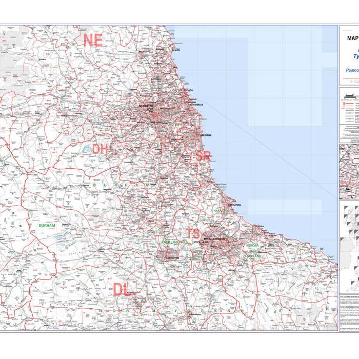
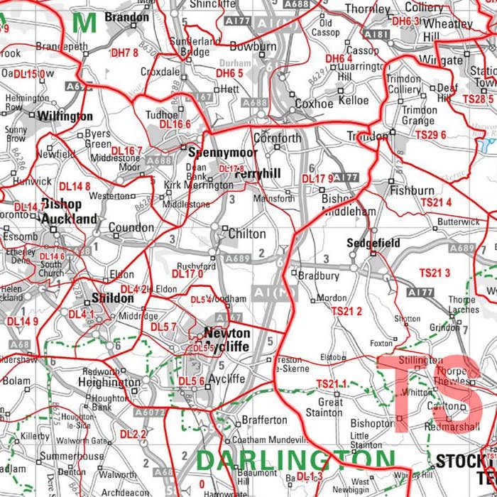
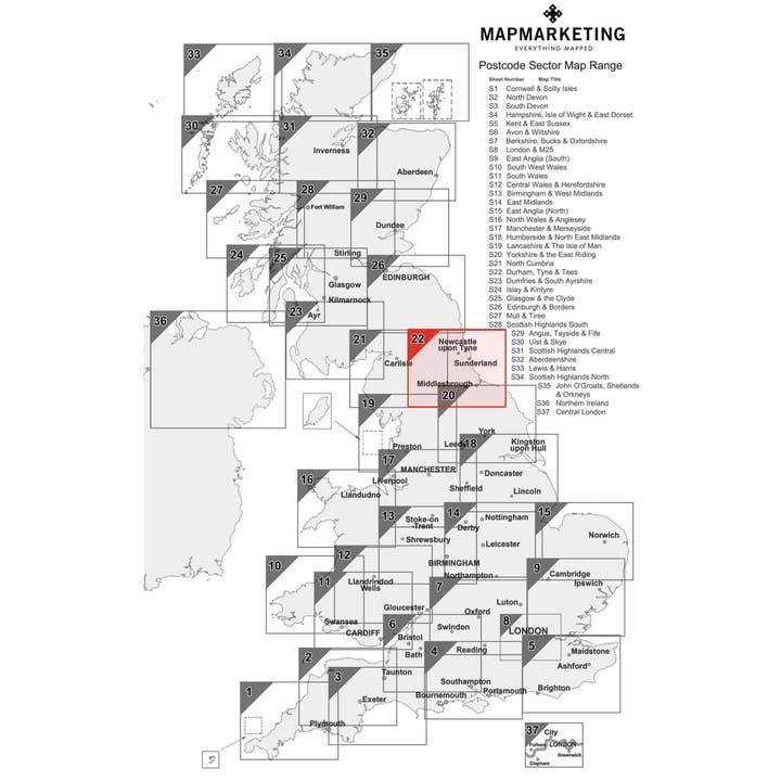
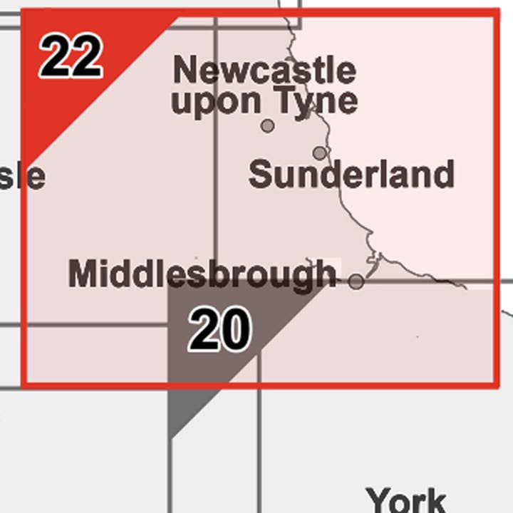
Wholesale Durham, Tyne, Tees (Newcastle Upon Tyne) Postcode Wall Map
WSP
£23.85 RRP
Shipping & policies
- Estimated delivery on Feb 3–13
Free and easy returns. Learn more
With Faire, shop unique wholesale products for your shop from brands like Map Marketing Limited and more.
Description
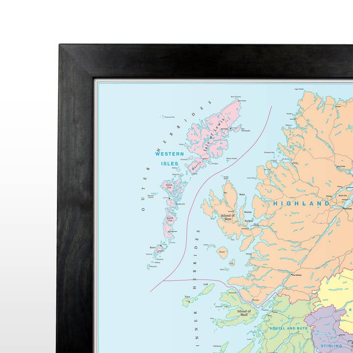
Sector Sheet 22: Durham, Tyne & Tees Size: 73 x 107 cm (29 x 42 inches) Scale: 1:150 000 (1 inch to 2.4 miles) Geographical Coverage Guide North: Wingates South: Northallerton East: Sandsend West: Eclenhall This is one of 37 pre-defined map sheets that covers the UK at Sector level displaying all of the first part of the postcode and the first number of the second part, or Inward Code, at a scale of an inch to 2.4 miles. This Sector map includes all of the postcode changes in the most recent Royal Mail Postcode Update. Area, District and Sector boundaries and numbers/letters are shown in red with County and Unitary Authority boundaries presented in green. The map base shows motorways, primary, ‘A’ and down to unclassified roads with conurbation shapes and city plan insets showing street level detail for major cities.
Details
SKU: S22P Made in United Kingdom Weight: 0 g (0 oz)


